Iowa Crop Progress and Condition Report
April 5 - 11, 2021
DES MOINES, Iowa (April 12, 2021) – Iowa Secretary of Agriculture Mike Naig today commented on the Iowa Crop Progress and Conditions report released by the USDA National Agricultural Statistics Service. The report is released weekly from April through November.
“With spring weather now upon us, farmers across Iowa are looking to get planters into the field,” said Secretary Naig. “Rainfall over the last week has been beneficial for the drier parts of the state, though farmers should keep an eye on the forecast, as freezing temperatures are possible over the next few days.”
The weekly report is also available on the USDA’s website at nass.usda.gov.
Crop Report
Measurable rainfall fell across the State which allowed Iowa farmers only 3.1 days suitable for fieldwork during the week ending April 11, 2021, according to the USDA, National Agricultural Statistics Service. Fieldwork activities included applying anhydrous and fertilizer, spreading manure, spring tillage and planting oats. There were also scattered reports of corn being planted.
Topsoil moisture levels rated 4% very short, 17% short, 69% adequate and 10% surplus. Subsoil moisture levels rated 12% very short, 28% short, 56% adequate and 4% surplus.
Thirty-seven percent of the expected oat crop has been planted, 4 days ahead of last year and 5 days ahead of the 5-year average. Statewide, 3% of the oat crop has emerged.
Pasture condition rated 3% very poor, 11% poor, 42% fair, 40% good and 4% excellent. Pastures are greening up and starting to grow. Muddy feedlots were reported in the southern part of the state.
Weather Summary
Provided by Justin Glisan, Ph.D., State Climatologist, Iowa Department of Agriculture and Land Stewardship
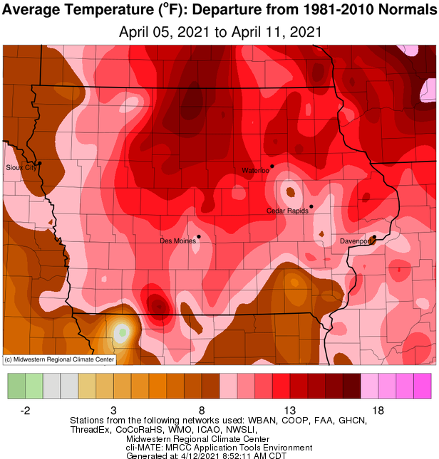
A transition to an active storm track brought several waves of welcome rainfall across Iowa over the last seven days. Slow moving low pressure systems with persistent, steady rain showers produced totals of up to three inches above normal in southeastern Iowa. Cloud cover and rain could not keep temperatures down as unseasonable warmth blanketed the state during the reporting period; Iowa’s average temperature was 55.9 degrees, 10.9 degrees above normal.
Sunday (4th) afternoon was pleasant with sunny skies and southerly winds helping temperatures reach into the mid 70s east to mid 80s west. Spotty thundershowers popped up across northeastern Iowa during late evening ahead of a low pressure system. The disturbance brought rain showers over the northern half of the state through Monday (5th) afternoon with totals on the order of a few tenths of an inch. Afternoon highs returned to the upper 70s and low 80s as skies cleared and blustery southerly winds persisted. A line of strong thunderstorms pushed into extreme northwest Iowa during late evening and skirted the Iowa-Minnesota border into early Tuesday (6th) morning before dissipating in northeastern Iowa. Scattered showers and thunderstorms re-formed later in the day in advance of a surface boundary moving into western Iowa overnight into Wednesday (7th). As temperatures warmed into the 70s with ample low-level moisture, additional thunderstorms formed in south-central Iowa on the north side of low pressure center over northwestern Missouri. The storms, with locally heavy rainfall and small hail, moved north and east through late evening. Thunderstorms in eastern Iowa became stronger with a brief, weak tornado reported near Cedar Rapids (Linn County) that caused damage to several structures.
The disturbance continued to circulate additional waves of showers across the state as it propagated northeast through Thursday (8th). Two-day rain totals were highest across southern and western Iowa, with totals on the order of 0.75 inch to above an inch; multiple stations in south-central Iowa measured over two inches with Murray (Clarke County) observing 2.70 inches. All National Weather Service coop stations reported measurable rainfall with a statewide average of 0.69 inch. The low pressure center continued to spin through the Great Lakes as rain showers gradually dissipated over Iowa on Friday (9th) morning. Overcast skies remained throughout the day with highs stuck in the mid 50s and a light northwesterly wind. Another center of low pressure propagated from Kansas into Missouri through the overnight hours into Saturday (10th). With a lack of upper-level steering flow, the sluggish low created a persistent rain shield across eastern Iowa. Western Iowa began to clear in late afternoon with temperatures reaching into the upper 50s and low 60s; under cloud cover and rain, eastern Iowa remained dreary and chilly with highs only in the mid to upper 40s. Overnight lows into Sunday (11th) dipped into the 30s in western Iowa while clouds held temperatures within the same range as late Saturday afternoon. Rainfall totals in Iowa’s eastern one-third were generally above 0.50 inch with over 20 reporting 1.00 inch or more; Keokuk Lock and Dam (Lee County) observed 2.76 inches.
Weekly rain totals ranged from 0.28 inch at Decorah Municipal Airport (Winneshiek County) to 4.42 inches Keokuk Lock and Dam. The statewide weekly average precipitation was 1.45 inches while the normal is 0.64 inch. Multiple western Iowa stations reported the week’s high temperature of 86 degrees on the 4th and 5th; on average 29 degrees above normal. Several northwestern Iowa stations reported the week’s low temperature of 28 degrees on the 11th, on average six degrees below normal. Four-inch soil temperatures were in the upper 40s east to low 50s west as of Sunday.
 |
 |