Iowa Crop Progress and Condition Report
July 4 – 10, 2022
DES MOINES, Iowa (July 11, 2022) — Iowa Secretary of Agriculture Mike Naig commented today on the Iowa Crop Progress and Condition Report released by the USDA National Agricultural Statistics Service. The report is released weekly April through November.
“An early July derecho raced along a path from northwestern South Dakota through northern Iowa early last week, producing swaths of lodged and flattened corn as well as some structural wind damage,” said Secretary Naig. “Several waves of rainfall also brought widespread relief to drier parts of the state as corn tassels begin to emerge.”
The weekly report is also available on the USDA’s website at nass.usda.gov.
Crop Report
Most of the state received rain along with warmer temperatures, resulting in 4.0 days suitable for fieldwork during the week ending July 10, 2022, according to the USDA National Agricultural Statistics Service. A derecho blew through northern Iowa on Tuesday, causing some crop damage. Fieldwork included wrapping up the first cutting of alfalfa and working on the second.
Topsoil moisture condition rated 3 percent very short, 19 percent short, 72 percent adequate and 6 percent surplus. Subsoil moisture condition rated 7 percent very short, 22 percent short, 66 percent adequate and 5 percent surplus.
Corn silking was at 7 percent, 4 days behind last year and 5 days behind average. Corn condition rated 81 percent good to excellent. Thirty-four percent of soybeans were blooming or beyond, 1 week behind last year and 2 days behind average. Three percent of the soybean crop was setting pods, 10 days behind last year and 5 days behind the 5-year average. Iowa’s soybean condition rating was 79 percent good to excellent. Ninety-five percent of the oat crop was headed or beyond, 4 days behind last year. Forty-eight percent of oats were turning color, 6 days behind last year. Oat harvest for grain has begun at 2 percent, 1 week behind last year. Iowa’s oat condition was 80 percent good to excellent.
Thirty-five percent of the State’s second cutting of alfalfa hay was complete. All Hay condition rated 70 percent good to excellent. Pasture condition rated 59 percent good to excellent. Pasture and hay improved with widespread rain. Livestock were stressed due to above average heat and humidity with reports of pinkeye in cattle.
Weather Summary
Provided by Justin Glisan, Ph.D., State Climatologist, Iowa Department of Agriculture and Land Stewardship
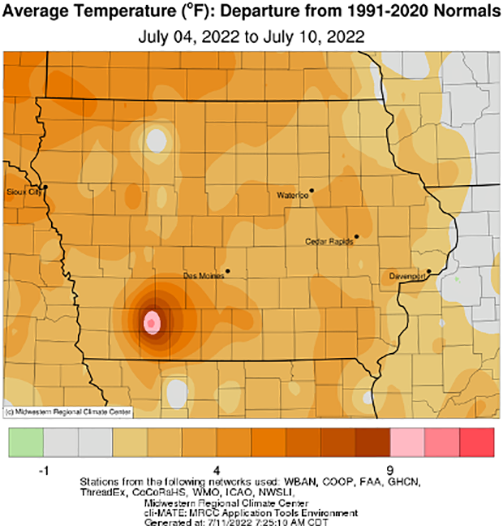
A shift in the weather pattern brought a more active storm track to the Midwest along with a derecho that blew through northern Iowa. The squall line left behind pockets of damaged corn and soybeans along with heavy rainfall. Many of the state’s reporting stations observed above-average rainfall with positive departures of over four inches in northern and eastern Iowa. Conditions were also unseasonably warm with a statewide average temperature of 76.5 degrees, 2.1 degrees above normal.
Scattered cumulus clouds began forming across Iowa’s western half through Sunday (3rd) afternoon as highs climbed into the mid to upper 80s. Southerly winds persisted overnight as a warm front pushed west to east over Iowa, firing a wide shield of showers and thunderstorms into Monday (4th) morning. The disturbance continued through Iowa before exiting the eastern border during the early afternoon hours. Measurable rain fell across Iowa’s northern three-quarters with over 50 stations measuring at least an inch of rain. Several stations also reported more than two inches with 2.91 inches observed at Decorah Municipal Airport (Winneshiek County); the statewide average rainfall for the event was 0.74 inch. Clouds cleared as muggy conditions continued through Independence Day fireworks with high temperatures rocketing into the upper 90s south while mid 80s were reported north. Tuesday (5th) was an eventful day across the Upper Midwest as a derecho propagated over 600 miles from northwest South Dakota through northern Iowa before dissipating in Illinois. Sustained wind speeds along the derecho’s path approached 40 mph with wind gusts over 60 mph; a personal weather station near Hartley (O’Brien County) clocked a 79 mph gust. A spin-up tornado was also reported near Estherville (Emmet County). A secondary system brought additional rainfall across southern Iowa through Wednesday (6th) afternoon with storm refiring after sunset. The heaviest rain fell over the Iowa-Missouri border with many stations measuring over 0.30 inches; Clarinda (page County) reported 2.00 inches.
Thursday (7th) saw more showers and thunderstorms moving into western Iowa and persisting across the state for most of the day. Daytime highs reached into the mid 80s where the sun peaked through, though remaining in the upper 70s where clouds were present. Slower moving thunderstorms produced locally heavy rainfall with Iowa Falls (Hardin County) observing 3.31 inches. Overnight lows into Friday (8th) remained warm, bottoming out in the upper 60s and low 70s under cloud cover. Heavier showers lingered in eastern Iowa through the early afternoon hours, leading to isolated flash flooding on Interstate 80 and north. Anamosa (Jones County) measured 2.48 inches over a period of a few hours. Skies cleared across southern Iowa into Saturday (9th) with variable winds and daytime temperatures in the low 80s. An isolated thunderstorm pushed into north-central Iowa during the early morning hours of Sunday (10th) with over 0.50 inch reported at multiple stations.
Weekly precipitation totals ranged from 0.31 inch in Washington (Washington County) to 6.14 inches in Spirit Lake (Dickinson County). The statewide weekly average precipitation was 2.12 inches while the normal is 1.11 inches. Lamoni (Decatur County) and Osceola (Clarke County) reported the week’s high temperature of 100 degrees on the 5th, on average 14 degrees above normal. Emmetsburg (Palo Alto County) reported the week’s low temperature of 51 degrees on the 6th, 12 degrees below normal.